Mullins Loop Cove - Cumberland Trail
 |
| Ramblr Summary |
Location: Prentice Cooper Wilderness Management Area
County: Marion
Latitude: 35.07964
Longitude: -85.25126
Distance: 10.00 miles
Difficulty: Moderate
Population: Saw runners, hikers ~10 people
Trailhead: Tower Drive
For More Information
Address: PO Box 160
Hixson, TN 37343
Phone: (423) 658-5551
Directions From Nashville:
From Nashville follow I-24 South. Exit at mile marker 155, headed north on highway 28. Take a right onto Highway-283, right passed the Whitwell Elementary School. Off of Highway 283 , you will turn right at top of the mountain. It is well marked
** In a Counter Clockwise Manner**
Other Trails1.) Pot Point Loop @ mile 4.10
2.) Signal & Edward Points
3.) Poplar Spring @ mile 9.3
Camp-Sites
1.) Hemlock Campsite @ mile 4.2 & 6.6
Overlooks
1.) Mullins Cover Overlook
2.) Snoopers Rock Overlook
We used the trailhead (west) edge of the parking area, since we had parked here. We arrived at 9:00 am eastern time, and were the only vehicles in the parking lot. It was 28 degrees to start off.
 |
| Mullins Cove Parking Lot |
The trail was well marked, and maintained.
Points of interest along the way.
 |
| Cascading stream |
Large boulder off to the left of the trail passed Short Creek. This area is technical with areas of lots of rocks, boulders, and descents.
Eventually, you will Haley Road, which is a service/ 4WD road for hunters and ATV enthusiasts. Continue South for 0.15 miles and turn left back onto the trail where it is well-marked with double blazes.
 |
| Passed the Service Road |
The view was amazing throughout the trail. Lots of stream crossings, technical areas, but noticed no sign of any wilderness.
As you continue down the trail you will come across the Mullins Cove Overlook.
 |
| Mullins Cove Intersection |
 |
| Mullins Cove Overlook |
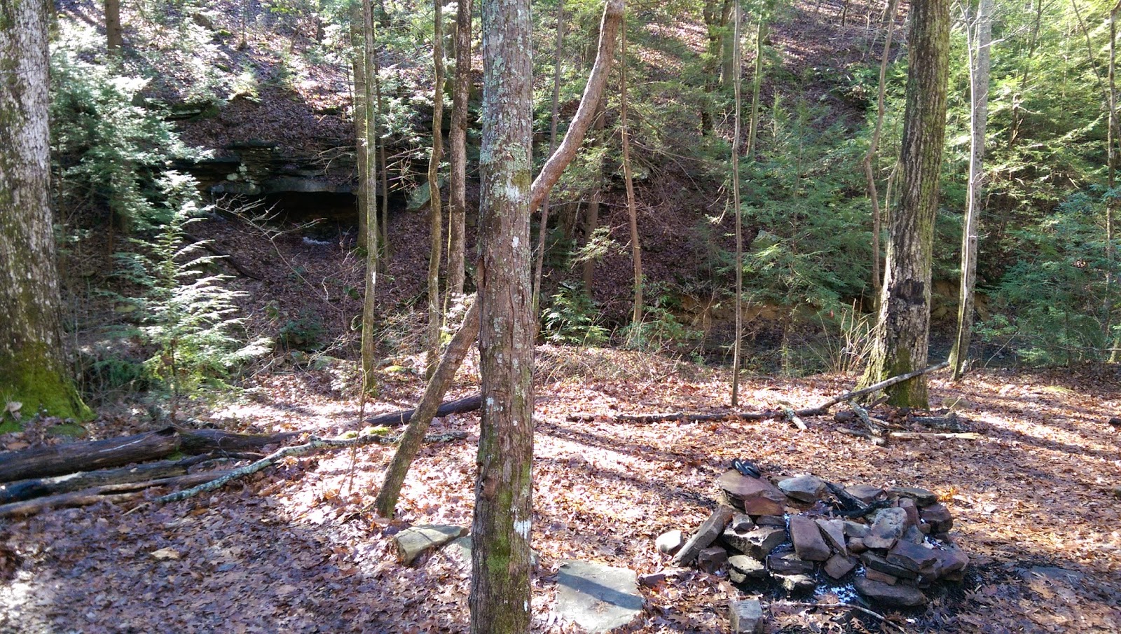
Really nice campsite with excellent fire pit. There was a a nice creek nearby, with a great source of water. This appears to be a seasonal source.
 |
| Hemlock Branch Campsite |
 |
| 1st intersection for Pot Point Loop |
 |
| Intersection pass Reach Tower Drive |
 |
| Snoopers Rock Overlook |
 |
| Indian Rock house |
 |
| Ascends out |
Continue up the stairs and follow the trail for a gently ascent back towards Tower Drive.
Cross Tower Drive and back to the parking lot.
Trail Maps and Resource
Trail map- TWRA general area map
Cumberland Resource- Mullins Cove Loop


No comments:
Post a Comment